Destination Highways
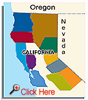
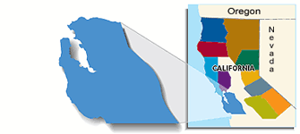
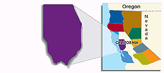
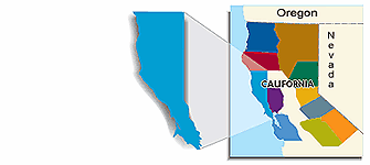
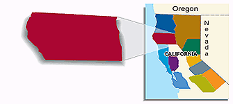
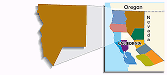
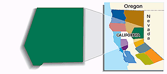
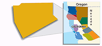
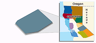
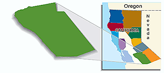
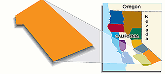
NorCal breaks the state into the 11
regions shown below. The Whole-State, Half-State and six Overall maps at the
front of the book show all the regions together. Each region has between four
and nine DHs. There are 11 Regional maps at the beginning of each region that
show you all the DHs (Destination Highways) and TEs (Twisted
Edges) within each region on one map, for context. Then, the Local maps
(sometimes as many as three per DH) for each of the 74 DHs (and their attendant
260 TE side roads) show
all the important features and services (gas, bike shops, food & drink,
accommodations & camping, police stations) along the way. In addition there
are six maps showing the 29 Bay Area TEs and six maps showing the 23 Central Valley
TEs. The maps, together with the Access directions
written for each DH (and where necessary for TEs) are designed to get you on the
best roads in Northern California as quickly and easily as possible in order to
maximize your precious two-wheeled time. And isn't that what you're interested
in?
Bay Area -
Santa Cruz Mountains
DH55has
4 side roads (Twisted Edges) DH28has
4 TEs DH39has
6 TEs DH74has
9 TEs DH47has
4 TEs
There are also 29 BAY AREA TEs
shown on 6 more maps.
DH49has
1 side road (Twisted Edge) DH59has
1 TE DH38 DH60 DH71has
3 TEs DH62has
7 TEs There are also 23 CENTRAL
VALLEY TEs
shown on 6 more maps covering from Oregon to the BAY AREA TE maps.